
Beschrijving
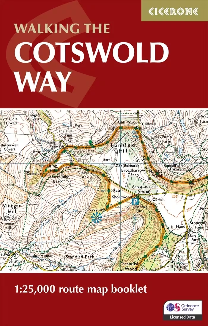
In dit kaartboekje staat de volledige wandelroute aangegeven. De volledige route staat aangegeven op gedetailleerd Ordnance Survey kaartmateriaal. Let op! Deze kaartgids is ook bij de wandelgids van de route inbegrepen. Het formaat is compact genoeg om gemakkelijk in een jaszak te passen. Het relevante gedeelte van de legenda van de OS Explorer-kaart is opgenomen. Kaartschaal is 1:25.000 (1 cm = 250 m). All the mapping you need to complete the Cotswold Way National Trail between Chipping Campden and Bath. NOTE: An accompanying Cicerone guidebook – The Cotswold Way – describes the full route in both directions with lots of other practical and historical information, for those who prefer a written guide. The accompanying guidebook INCLUDES a copy of this map booklet. This booklet of Ordnance Survey 1:25,000 Explorer maps has been designed for convenient use on the trail. It shows the full and up-to-date line of the Cotswold Way, along with the relevant extract from the OS Explorer map legend. It is conveniently sized for slipping into a jacket pocket or top of a rucksack.
Beoordelingen
Er zijn nog geen beoordelingen.